

Introduction
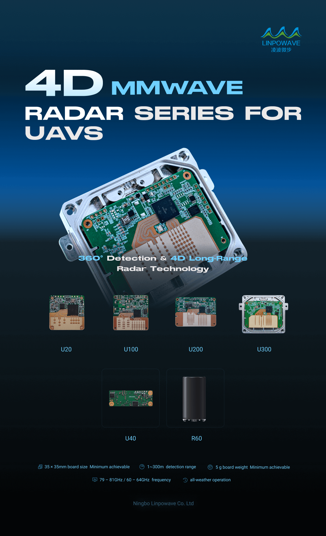
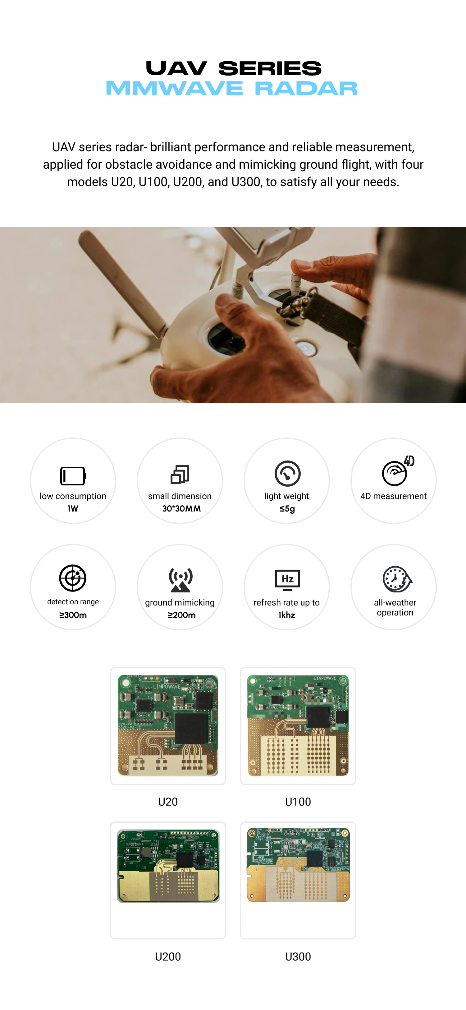
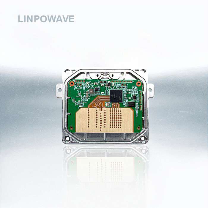
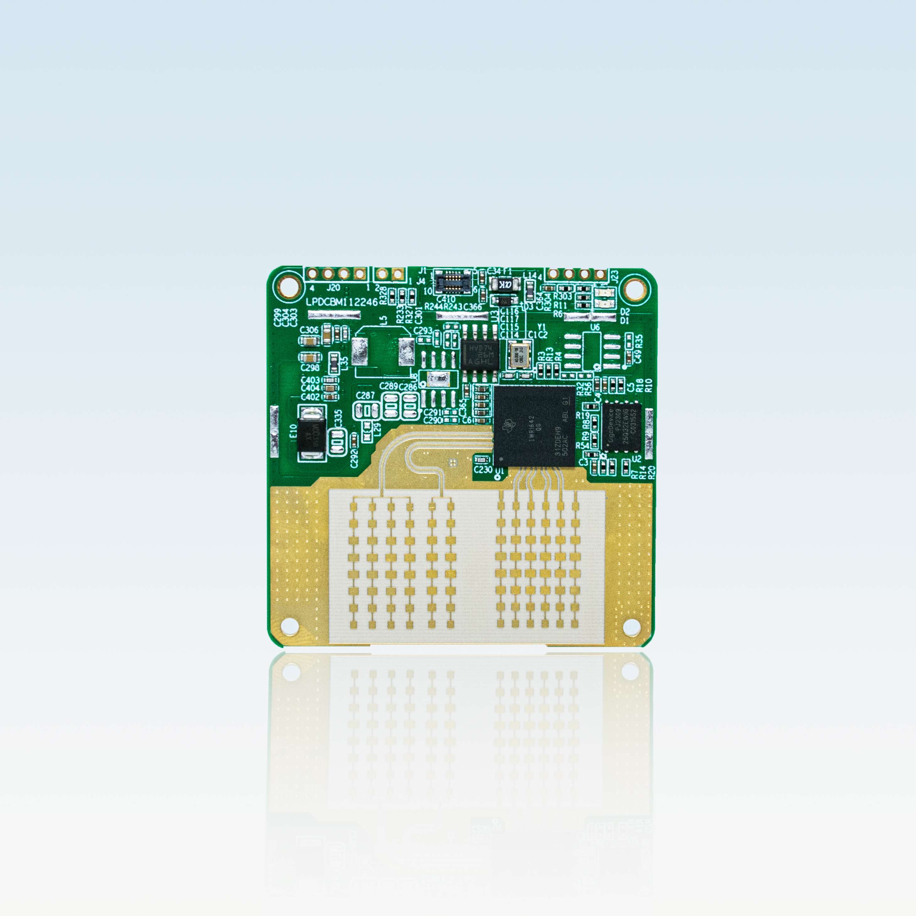
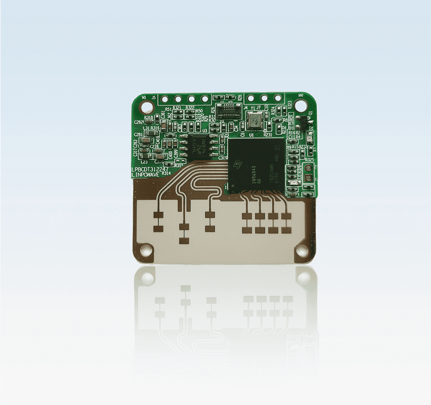
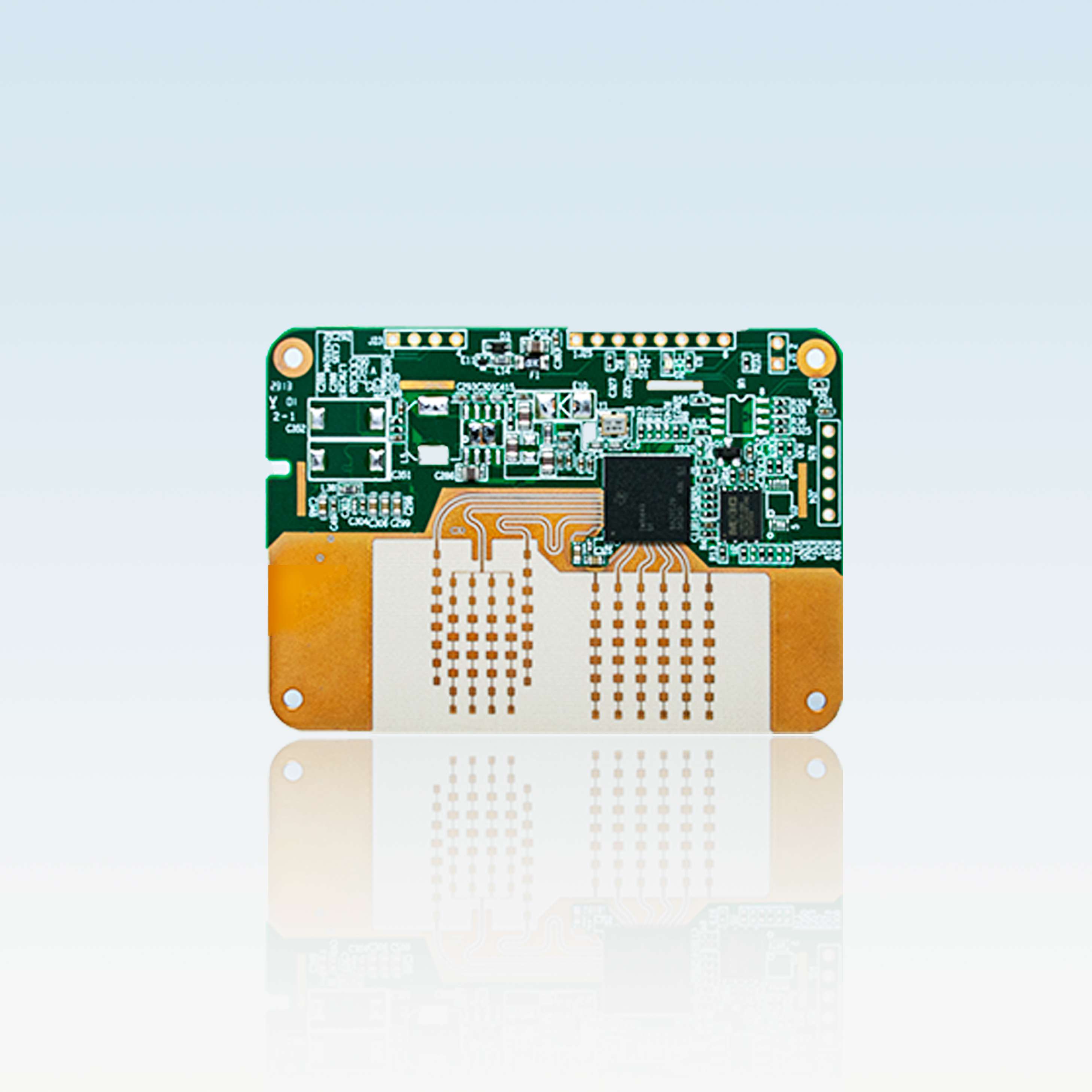
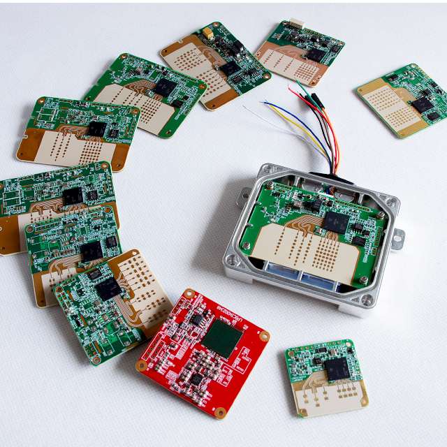
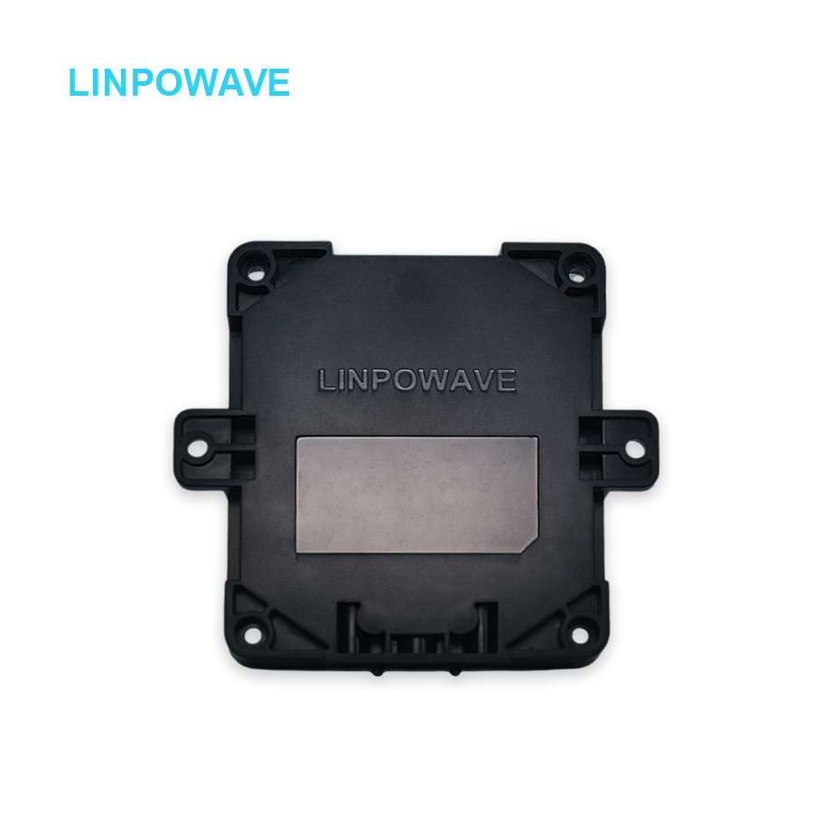
TheU200A mmWave Radaris a high-precisionaltitude measurement sensordesigned specifically for UAV and drone applications. Operating in the automotive-grade77–81GHz mmWave band, U200A deliversreal-time altitude dataup to 200 meters, with adjustable range and excellent accuracy even in challenging outdoor conditions.
Its lightweight, compact design and robust anti-interference capability make U200A an ideal solution forterrain following, precision landing, low-altitude hovering, and safe automated flight in complex environments.
Key Features
1. UAV-Optimized Design
- Compact, lightweight module (~10g):Minimizes impact on drone payload
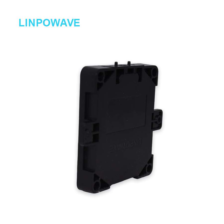
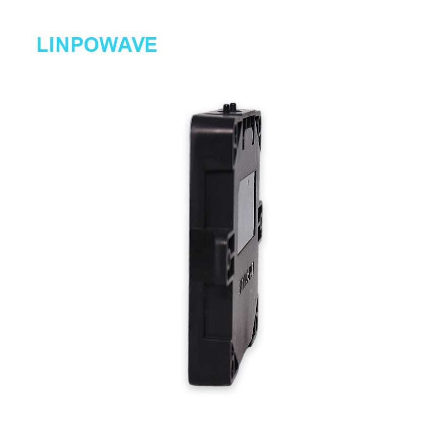
- Slim profile (70×50×5.5mm):Supports easy mounting on multirotor and fixed-wing UAVs
- Low power consumption:Average 2W, suitable for battery-powered systems
2. Performance Parameters
- Frequency Range:77 – 81 GHz
- Measuring Range:0.2 – 200 m (adjustable)
- Distance Resolution:0.8 m
- Accuracy:±0.2 m
- FOV:Horizontal ±60°, Vertical ±12°
- Velocity Detection:±20 m/s (adjustable)
- Data Output:X, Y, Z, V
- Refresh Rate:Up to 20 Hz (adjustable)
3. Advanced Altitude Measurement Capabilities
- Accurate Altitude Hold:Maintains consistent height in changing terrain
- Terrain Following:Automatically adjusts altitude over varied ground elevation
- Precision Landing:Enables safe, automated landings on pads or markers
- Low-Altitude Hovering:Improves safety for close inspections and photography
4. Connectivity and Integration
- Interfaces:Standard TTL, optional CAN / 422
- Flexible Power Options:5V / 1A, 12V / 0.5A, or 13–30V (optional)
- EMC-Compliant Design:Withstands interference in industrial or urban environments
5. Environmental Adaptability
- All-Weather Operation:Reliable performance in fog, rain, dust, and varied light conditions
- Operating Temperature:-40°C ~ +85°C
- Humidity Tolerance:5% – 90% RH (non-condensing)
Application Scenarios
- 🚁Drone Altitude Hold:Maintain precise, stable flight height
- 🌄Terrain Following:Safe automated navigation over varied ground
- 🛬Precision Landing:Controlled landings on designated targets
Why Choose U200A mmWave Radar?
- ✅Up to 200m adjustable altitude measurementfor UAV operations
- ✅77–81GHz automotive-grade mmWave bandwith strong penetration and stability
- ✅Compact, lightweight, low-power designfor easy UAV integration
- ✅ Supportsterrain following, precision landing, and altitude hold
- ✅All-weather reliabilityfor safe, automated flight in diverse conditions