





4D millimeter wave radar makes driving safer.

Transforming Industries with Advanced Radar Solutions
Our 4D mmWave radar applies to multi-industries in different fields including traffic monitoring series, drone/UAV series, vehicle series and industry series. Remarkably, our latest technology enables 4Dmmwave radar to detect over 300 meters with point cloud imaging.
Drone/UAV Series
The Drone/UAV Series Solutions leverage advanced millimeter wave radar technology to enable precise, reliable, and efficient operations in unmanned aerial vehicle (Drone) applications. These solutions support a wide range of scenarios, including obstacle avoidance, terrain following, navigation, delivery, and power line inspection, enhancing Drone performance and safety.
Liquid Level Series
The Liquid Level Series Solutions use advanced millimeter wave radar technology to enhance efficiency, safety, and accuracy in industrial applications like liquid level monitoring, automation, and safety systems, delivering precise, real-time data for optimized operations.
Traffic Series
The Traffic Series Solutions leverage advanced technologies, including millimeter wave radar, AI, and IoT, to provide real-time, accurate, and scalable traffic management. These solutions enhance safety, reduce congestion, and improve traffic flow in urban and highway environments.
Vehicle Series
The Vehicle Series Solutions utilize advanced millimeter wave radar technology to enhance safety, efficiency, and automation in vehicles. These solutions support applications in driver assistance systems, autonomous driving, and intelligent transportation, providing real-time, precise environmental awareness for vehicles.
Explore our products across industries


Popular Product Recommendations
Products
- Featured Products
- Traffic Series
- Vehicle Series
- Drone/UAV Series
- Solid/Liquid Level Series

U20 4D mmWave Radar for Drone
Frequency Range: 60 - 64 GHz
Measuring Range: 0.5 ~ 40m


U300 4D mmWave Radar for Drone
Frequency Range: 76 - 81 GHz
Measuring Range: 0.5 ~ 300m

VJ80 Angle mmWave Radar
Frequency Range: 76 - 81 GHz
Measuring Range: 0.5 ~ 100m


V10 In-cabin mmWave Radar
Frequency Range: 60 - 64 GHz
Measuring Range: 0.5 ~ 40m
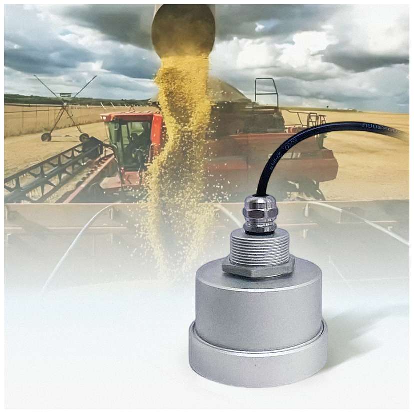
I60 Grain Silo or Water Level Monitoring Radar
Frequency Range: 76 - 81 GHz
Measuring Range: 0.2 ~ 60m


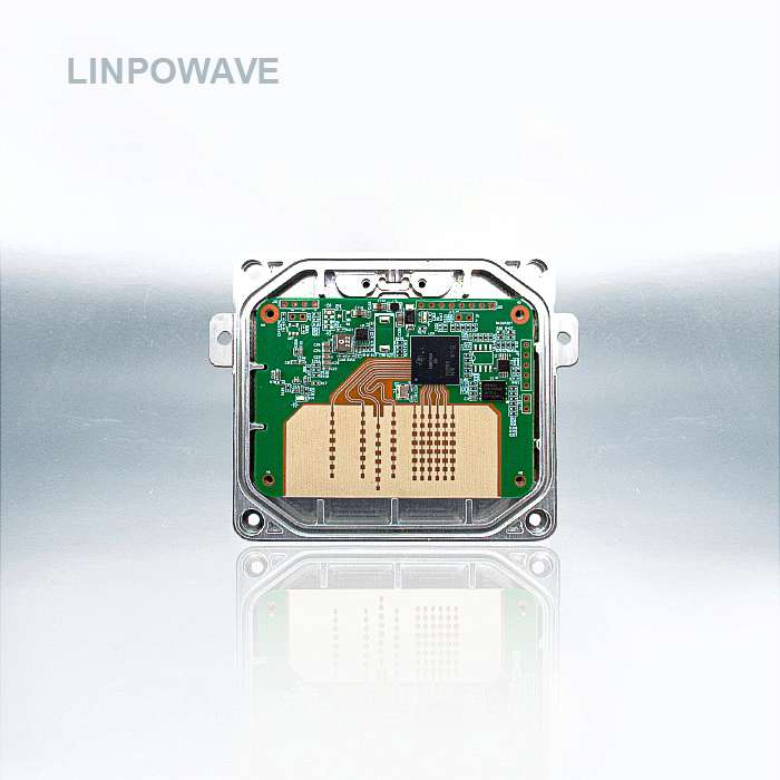
T300 Speed Measurement Radar
Frequency Range: 76 - 81 GHz
Measuring Range: 0.5 ~ 300m


Discover the latest in our world…
Read the latest blogs about our product catalogs, industry processes and our most successful projects to help make productive business decisions.
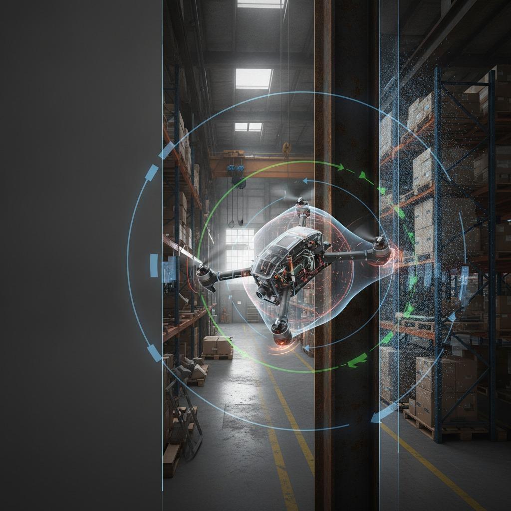
News·Nov 12, 2026
Green Sensing for Energy Saving: How to Design Low-Power Remote Systems
1. The Power Budget Bottleneck in Autonomous and Remote Infrastructure
2. Decoupling Detection: The Role of Multi-Tiered Wake-Up Logic
3. Harvesting Balance and Field Realities
4. Aviation and Inspection Platforms: Reducing Payload Penalties
5. Practical Traps in Low-Power Sensor Sourcing
6. Frequently Asked Questions
7. Next Steps for Engineering Teams
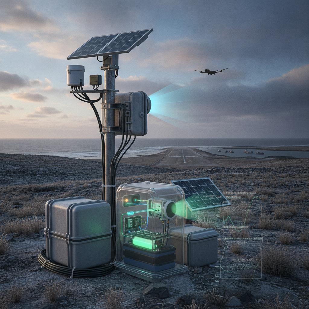
News·Nov 11, 2026
Texture Mapping with Radar Depth: A Practical Guide for Harsh Environments
More
News·Nov 10, 2026
Counter-Swarm Radar Surveillance: Defending Perimeters Against Multi-UAV Incursions
More
News·Nov 09, 2026
Landing Hazard Identification: Multi-Modal Guidance for Terminal Descent
More
News·Nov 06, 2026
Green Sensing for Energy Saving: Architectures for Remote and Edge Systems
More
News·Nov 05, 2026
Temperature-Compensated Sensing: Stopping Thermal Drift in Industrial Systems
More


