


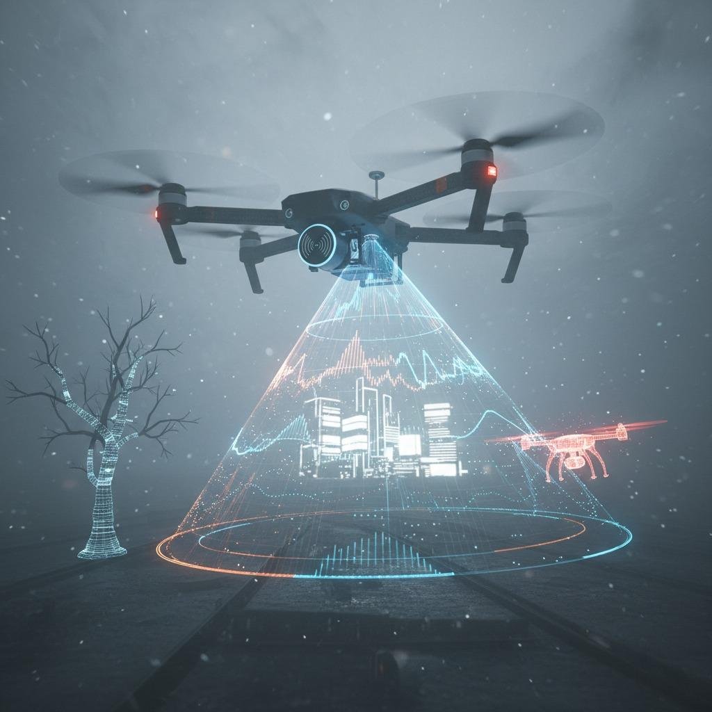
The Challenge of Obstacle Detection in Drone Operations
Drones, or UAVs, are increasingly used in applications ranging from delivery services to aerial surveying, but they face a significant problem: reliable obstacle detection in complex environments. Traditional sensors like cameras and LiDAR can falter in poor visibility conditions such as fog, dust, or low light, leading to potential collisions that jeopardize safety and mission success. mmWave radar drone obstacle detection emerges as a critical solution, offering robust performance unaffected by weather or lighting. This technology uses millimeter-wave signals to detect objects with high precision, enabling drones to navigate safely even in challenging scenarios.
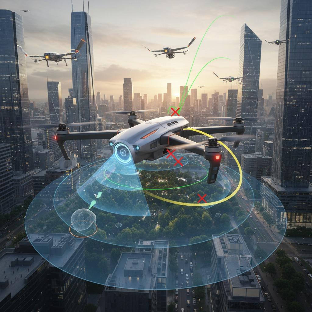
How mmWave Radar Addresses UAV Collision Risks
One of the primary hurdles in drone flight is collision avoidance, especially in urban or cluttered spaces where unexpected obstacles like buildings, trees, or other aircraft appear suddenly. UAV collision avoidance radar powered by mmWave technology scans the surroundings in real-time, providing 360-degree detection up to hundreds of meters away. Unlike optical systems, mmWave radar penetrates adverse conditions, ensuring continuous operation. For instance, integrated into drone systems, it identifies obstacles' position, speed, and size, allowing the flight controller to execute evasive maneuvers automatically. This not only prevents accidents but also complies with aviation regulations demanding fail-safe navigation.
Enhancing Navigation with Advanced 4D Radar Capabilities
Beyond basic detection, modern drones require sophisticated navigation for autonomous missions. Drone 4D radar navigation represents a leap forward, combining range, velocity, azimuth, and elevation data into a four-dimensional map of the environment. This addresses the limitations of GPS in signal-denied areas like indoors or urban canyons, where drones often lose positional accuracy. By fusing mmWave data with inertial sensors, drones achieve precise path planning and real-time adjustments, reducing operational downtime and improving efficiency in tasks like search-and-rescue or infrastructure inspection.
Empowering Autonomous Sensing and Environment Mapping
Autonomous drone sensing is essential for fully independent operations, yet many systems struggle with dynamic environments that change rapidly. Autonomous drone sensing equipped with mmWave radar overcomes this by providing continuous, high-resolution data streams that feed into AI algorithms for decision-making. This technology excels in drone environment mapping, creating detailed 3D models of surroundings on the fly, which is invaluable for applications like precision agriculture or disaster assessment. For example, during a mapping mission over a forested area, the radar detects subtle changes in terrain and vegetation, enabling the drone to build accurate digital twins without interruptions.
Spotlight on Linpowave U300: A Leading mmWave Solution
When selecting hardware for these capabilities, the Linpowave U300 mmWave radar stands out as a compact, high-performance module tailored for drones. Designed for seamless integration, it delivers low-power consumption and wide-angle coverage, making it ideal for UAV collision avoidance radar and drone 4D radar navigation setups. Users report enhanced reliability in real-world tests, with the U300 enabling autonomous drone sensing that outperforms competitors in speed and accuracy. By incorporating such advanced tools, drone operators can transform potential hazards into manageable elements, ensuring safer and more productive flights. Overall, mmWave radar drone obstacle detection not only solves immediate safety concerns but also unlocks new possibilities for innovative drone applications.