


Introduction: Moving Toward Precision Farming
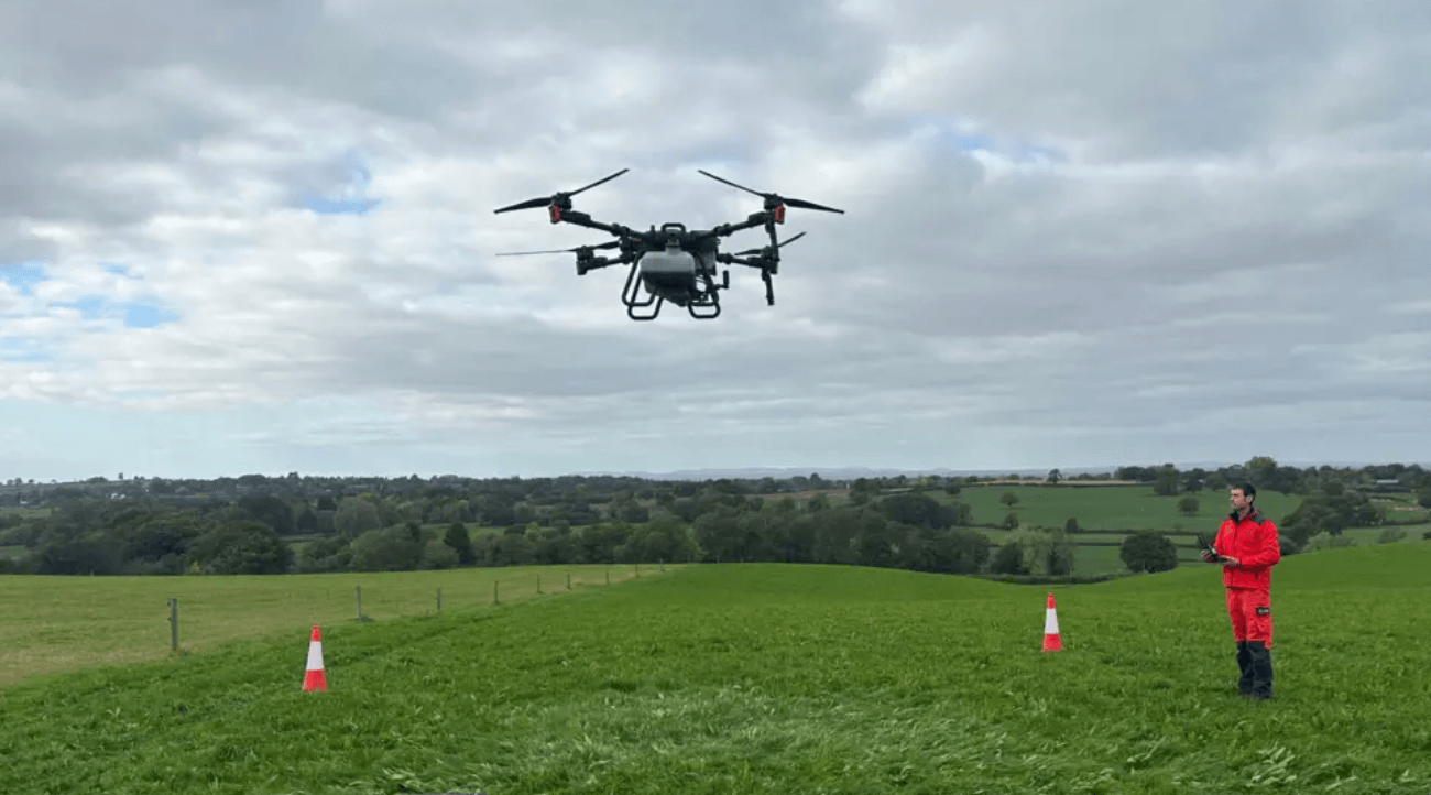
Farming is changing in many ways. Some farmers now use drones that are 3 meters wide and weigh about 160 kilograms. These drones can take the place of tractors on steep or rough fields. They reduce soil compaction, which makes planting more reliable. They also help farmers stay safer, especially when working on hills or uneven land.
The real change happens when drones can fly on their own. They must see obstacles, adjust height, and navigate safely without constant human control. LinpoWave 4D millimeter-wave radar gives drones the sensing tools they need to fly safely and efficiently. It allows drones to work in all weather and in different terrain types, including fields with fog, dust, or chemical spray.
Farmers want drones that save time and resources. Autonomous drones with precise sensors reduce the need for repeated spraying and prevent crop damage. They also collect data about crops and soil, which helps farmers make better decisions. These sensors can even detect small hazards like power lines that could cause accidents.
LinpoWave Technology: Working in All Weather
Drones face many challenges in the field. LinpoWave radar gives high-resolution sensing. It measures distance, speed, and both horizontal and vertical angles. These measurements help drones build a full 3D map of their surroundings and track moving objects. This works better than cameras or LiDAR, which depend on light and can fail in fog, dust, or spray. The Food and Agriculture Organization (FAO) explains that weather variability will increasingly affect crop production (FAO Digital Agriculture).
The radar is small and uses little energy. Heavy drones need sensors that do not take too much space or weight. The 77 GHz radar can detect objects up to 350 meters away with 0.2-meter accuracy, which gives 160-kilogram drones enough time to avoid obstacles. The 79 GHz radar provides even sharper images. It helps drones map terrain and find thin hazards like power lines. The Federal Aviation Administration (FAA) notes that such obstacles are a common cause of drone accidents (FAA Drone Safety).
LinpoWave sensors also work in chemical spray conditions. Cameras and LiDAR cannot see clearly when there is mist or fog. Radar waves pass through these obstacles. This makes drones reliable in real farming conditions. Farmers can schedule spraying without worrying about the weather. They can also operate drones at night or early in the morning, which increases efficiency.
How 4D Radar Helps Farming
LinpoWave 4D radar lets drones do more than just fly. It keeps drones at a steady height over crops, even on slopes. This makes spraying chemicals more even. It also prevents damage to crops and soil.
The radar can measure crop structure and density. These measurements help farmers understand how plants grow and detect early signs of pests or disease. By combining radar with AI, drones can perform Targeted Spraying, applying chemicals only where they are needed. This reduces waste, lowers costs, and limits environmental damage. It also reduces chemical exposure to humans and animals.
Large farms often use multiple drones at the same time. LinpoWave radar can measure distance and speed between drones. This prevents crashes and keeps drones safe. Research from the IEEE Robotics and Automation Society shows that radar-based sensing helps drones fly together in swarms safely (IEEE RAS).
Radar also helps drones follow terrain closely. On hills or uneven land, drones can adjust height in real time. This keeps the spraying uniform across the whole field. Without radar, drones may spray unevenly, miss spots, or hit obstacles. Farmers save both time and money when drones operate with radar guidance.
Challenges and Solutions
High-resolution radar produces a large amount of data. Drones need fast computers to process this information in real time. LinpoWave is improving chip design and data compression. This saves energy and keeps radar measurements accurate. Battery technology also improves drone flight duration, which allows longer operations on large farms.
Rules and regulations are another consideration. Authorities allow large drones to fly in remote farmland but require safety systems. LinpoWave 79 GHz radar provides precise detection of obstacles. This helps drones follow regulations while flying autonomously. Farmers can meet safety requirements without slowing down operations.
How LinpoWave Changes Farming
LinpoWave 4D radar allows drones to fly safely in different weather and terrain. Drones can spray crops independently, operate in swarms, and maintain a consistent height above uneven land. The radar’s 0.2-meter accuracy, 350-meter range, and four-dimensional sensing make drones smarter. Farmers benefit from improved safety, reduced chemical use, lower costs, and better crop monitoring.
Radar sensors also gather data for farm management. Farmers can analyze crop growth patterns, soil conditions, and field coverage. This information can be used for irrigation planning, pest management, and fertilization schedules. Using drones with radar creates a more precise and sustainable farming system.
FAQ: LinpoWave 4D Radar for Drones
Q1: What does 4D radar measure?
A: Distance, speed, horizontal angle, and vertical angle. This gives drones a full map of their surroundings.
Q2: How does radar help heavy drones fly safely?
A: It detects objects up to 350 meters away with 0.2-meter accuracy. Drones have enough time to avoid collisions.
Q3: Why is 77 GHz radar important for multiple drones?
A: It measures distance and speed between drones. This prevents crashes in swarm operations.
Q4: How does radar save chemicals?
A: Targeted Spraying applies chemicals only where needed, which reduces waste and environmental impact.
Q5: Why is radar better than cameras or LiDAR?
A: Radar works in fog, dust, or spray, while cameras and LiDAR require clear light.
Q6: Why is the vertical angle important?
A: It helps drones keep the correct height over uneven land. This ensures uniform spraying.