






The Fragility of the Sky: Why Modern Autonomy Demands Satellite-Independent Localization
For more than two decades, design teams developing autonomous ground vehicles, automated port logistics, and heavy industrial machinery have treated global satellite constellations as an infallible utility. You wire in a dual-frequency GNSS receiver with RTK corrections, connect an antenna, and expect centimeter-level truth. But out in the field—whether deep inside an open-pit mine, maneuvering through dense concrete urban canyons, or operating in contested maritime corridors—that assumption routinely breaks down. Satellite-independent localization is no longer just an exotic aerospace fallback; it has become an operational necessity for engineers building systems that cannot afford to halt when a constellation signal degrades or vanishes entirely.
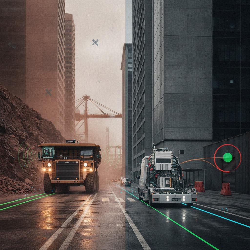
The core issue is physical: GNSS signals arrive at the receiver antenna with extraordinarily low power, often around -160 dBW. That makes them vulnerable not just to natural multipath reflections from structural steel and wet foliage, but also to deliberate jamming and deceptive spoofing. When a mining hauler or autonomous transport robot loses its satellite lock, the traditional response has been either to stop immediately—killing throughput—or to rely on dead reckoning that accumulates error rapidly within seconds.
The Limits of Conventional Dead Reckoning
When satellite signals drop, the instinctive design choice is often an Inertial Measurement Unit (IMU) backed by wheel odometry or optical cameras. Yet, mechanical reality quickly complicates this approach in harsh industrial settings:
- Wheel Odometry Slip: Wet steel, gravel, mud, and ice introduce wheel slip that destroys odometric accuracy before an automated vehicle has traveled fifty meters.
- Visual Degradation: Vision-based SLAM and visual odometry collapse in airborne dust, dense particulate clouds, direct sun glare, or complete darkness.
- IMU Bias Instability: Unless you specify an expensive navigation-grade ring laser or fiber-optic gyro, micro-electro-mechanical systems (MEMS) IMUs suffer from uncorrected bias drift that compounds quadratically over time.
Architecting the Alternative: Radar-INS Hybrid Positioning
To overcome environmental obscurants, engineering teams are increasingly turning to mmWave and imaging radar as the primary exteroceptive sensor for dead reckoning. By tightly coupling radar measurements with an industrial-grade IMU, systems achieve resilient radar-INS hybrid positioning that remains operational regardless of optical visibility, surface friction, or ambient lighting.
Unlike optical cameras or lidar sensors that struggle in heavy precipitation or industrial dust plumes, radio frequency waves penetrate atmospheric particulate with minimal attenuation. Radar odometry extracts Doppler velocity profiles from stationary environmental targets while filtering out dynamic objects like crossing vehicles or personnel. Feeding these precise radial velocity measurements into an Extended Kalman Filter (EKF) or factor graph optimizer continuously bounds the IMU drift, delivering sustainable GNSS-denied radar navigation across hours of sustained satellite loss.
The primary engineering hurdle here is data association. Raw radar returns contain clutter, multipath artifacts, and azimuth-elevation ambiguity. The filtering pipeline must reject false returns and moving reflectors to ensure that only true static environmental scatterers constrain the inertial navigation solver.
From Redundancy to Active Defense: Radar-Aided GNSS Spoofing Detection
Signal loss is annoying, but signal spoofing is dangerous. When an autonomous asset receives corrupted GNSS signals that mimic valid constellation ephemerides, standard receivers may calculate an erroneous position with deceptively high internal confidence flags. The machine believes it is five meters to the left of where it actually sits.
This is where radar-aided GNSS spoofing detection becomes critical to the safety architecture. By maintaining an independent, high-rate velocity and displacement estimate from the radar-inertial baseline, the onboard computer can cross-validate incoming satellite position fixes. If the RTK solution reports an acceleration vector or position jump that contradicts the radar odometry by more than a calibrated threshold, the navigation executive immediately flags the GNSS data as untrusted, isolates the receiver, and gracefully falls back to local sensor tracking.
A mature radar-GNSS integration does not treat satellite data as the single undisputed master. Instead, GNSS is treated as just one of several sensor inputs with dynamically adjusted covariance matrices, allowing the asset to transition smoothly between satellite tracking, cross-verification, and autonomous dead reckoning without dropping its task state.
Practical Evaluation Criteria for System Integrators
Before standardizing on a sensor suite for satellite-independent localization, product teams should assess three critical integration variables:
1. Chirp Bandwidth and Velocity Resolution
A radar sensor configured purely for long-range target tracking often lacks the fine range and Doppler resolution required for odometry. Look for transceivers (frequently in the 76–81 GHz automotive band) that provide wide chirp bandwidths and sufficient elevation channels to distinguish ground clutter from actual fixed vertical infrastructure.
2. Computational Overhead vs. Real-Time Deadlines
Radar point clouds are notoriously sparse compared to lidar, yet processing dense 4D radar arrays can still saturate embedded edge processors. Evaluate whether the sensor performs point-extraction and Doppler filtering on an onboard DSP or expects the main compute unit to process raw range-Doppler maps.
3. Sensor Rigidity and Extrinsics
In radar-INS hybrid positioning, slight mechanical flexing between the radar mounting bracket and the IMU body will induce phase and coordinate errors that degrade the fusion filter. Rigid physical co-location or continuous online extrinsics calibration is non-negotiable for long-duration autonomy.
Frequently Asked Questions
Can radar completely replace lidar in GNSS-denied environments?
For localization and velocity estimation, radar can often replace lidar, especially in dirty, dusty, or moisture-rich environments. However, for dense volumetric mapping and fine-grained obstacle geometry, lidar still provides superior angular resolution. Many industrial teams deploy both, using radar-inertial fusion as the high-availability navigation backbone.
How does radar odometry behave in open, featureless areas?
In completely flat terrain with no vertical structures (such as salt flats or smooth tarmac), radar odometry faces degradation because there are few stationary retro-reflectors to bounce signals back. In these environments, downward-looking ground-speed radar or high-grade inertial sensors are typically added to constrain velocity.
Moving Forward with Resilient Navigation
Relying solely on an unverified satellite fix is an engineering liability in modern automated operations. If your platform operates in environments prone to multipath reflections, electromagnetic interference, or physical satellite shadowing, begin by benchmarking the drift rates of your current IMU and odometry stack against a mmWave Doppler radar baseline. Establishing robust radar-GNSS integration early in the hardware design phase is far less costly than retrofitting fail-safe architecture once vehicles are already deployed in the field.