





The Final Fifty Feet: Solving the Autonomous Drop Challenge
Most commercial drone delivery programs do not fail at cruise altitude. Autonomous navigation between distribution hubs and suburban or rural delivery corridors is largely an engineering problem solved through robust GNSS, geofencing, and reliable telematics. The actual failure point—both mechanically and legally—is almost always the terminal descent. Executing a dependable landing zone obstacle assessment within seconds, over an unmapped residential backyard or industrial laydown yard, is the hurdle keeping automated cargo operations tethered to human visual observers.
A back lawn that looks clear on satellite imagery can easily contain a taut clothesline, shifting patio furniture, a curious dog, or an unexpected 8-degree incline that tilts a multi-rotor upon touchdown. When an airframe approaches ground level, ground effect wash complicates vehicle dynamics, while optical camera sensors frequently struggle with heavy shadow transitions or wash-out glare. If the onboard autonomy cannot classify these hazards decisively within a sub-second decision loop, the operator faces an expensive dilemma: abort the mission unnecessarily and spike operational costs, or proceed and risk an airframe strike or cargo damage.
The Gap Between En-Route Sensing and Ground Realities
Engineering teams often conflate mid-flight autonomy with terminal landing safety. During transit, systems lean heavily on wide-area awareness: delivery route hazard detection primarily deals with static cell towers, cooperative airspace traffic, high-tension power lines, and macro-scale weather fronts. These targets possess clear visual signatures or transponder data and leave generous margins for collision-avoidance maneuvers.
Terminal descent eliminates those margins. At altitudes below 10 meters, the sensing envelope collapses. Downwash kicks up leaves and fine dust, blinding cheap optical cameras and generating false returns on basic ultrasonic transducers. Worse, the wind field shifts abruptly near structures; fence lines and garage walls generate localized shear. Without accurate drop-zone wind estimation feeding back into flight control laws, an uncrewed system cannot differentiate between an external gust pushing it toward a wall and a propulsion failure.
Structuring a Redundant Terminal Sensing Architecture
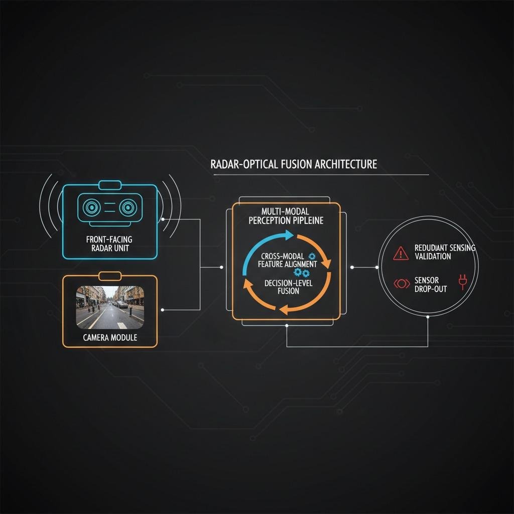
Single-sensor strategies do not work reliably in unstructured drop zones. Systems integrators who rely exclusively on monocular depth estimation via computer vision usually discover this after their first high-contrast shadow causes a false-positive abort, or thin overhead wire causes an unrecoverable snag. Industrial-grade architectures are moving toward tiered sensor fusion that balances compute weight against sensing fidelity:
- Micro-LiDAR and Solid-State Radar: High-frequency solid-state radar penetrates rain, fog, and downwash debris that blind optical systems. Radar excels at macro-distance verification and terrain clearance, while flash LiDAR provides the point-cloud density needed to pick out guy-wires and thin branches within 5 meters of the ground.
- Active Surface Slope Profiling: Landing gear geometry limits acceptable ground pitch. Software must project a virtual footprint onto the target surface, calculating slope angles and local surface roughness (boulders, curbs, discarded hoses) before authorizing either a touchdown or tether release.
- Dynamic Acoustic and Optical Flow: Fusing downward-facing optical flow with micro-ultrasonic arrays gives micro-scale drift detection, critical when holding station in turbulent ground-effect air.
Closing the Verification Loop: In-Transit and Post-Drop Health
Obstacle clearance is only half the commercial requirement; verifying that the payload arrived intact is the other. Fragile medical supplies, cold-chain pharmaceuticals, and delicate instrumentation can suffer structural compromise from violent mid-air turbulence or hard contact without showing exterior container damage.
This is driving development around complementary telemetry systems. Integrating real-time payload vibration sensing allows the flight computer to log cumulative G-force spikes during the flight envelope, establishing whether cargo was compromised prior to arrival. Simultaneously, advanced operations are testing non-invasive verification, including package integrity monitoring via radar, which can interrogate internal packaging density or liquid fill lines through outer corrugated casing before and immediately after winching. If cargo sustains an out-of-spec impact during an aborted landing or high-wind tether swing, the platform knows before releasing custody to the customer.
Key Hardware Trade-Offs for Systems Engineers
Designing an onboard perception stack involves brutal trade-offs between size, weight, power, and cost (SWaP-C). Every watt pulled by an onboard inference GPU is a watt deducted from payload capacity or operational radius.
Compute Topology: Edge Inference vs. Sensor-Level Processing
Offloading raw point clouds to a central flight computer quickly saturates PCIe lanes and thermal budgets. We are seeing a distinct shift toward smart sensors—radar and LiDAR units with integrated microcontrollers that process clustering and return only vector bounding boxes and surface normal vectors to the primary flight controller. This drastically reduces bus latency and simplifies autonomous abort logic.
Tether Delivery vs. Full Touchdown
Deciding whether your aircraft physically touches down or winches cargo from a 15-meter hover fundamentally alters the sensing spec. Full touchdown demands absolute certainty regarding ground firmness, slope, and micro-obstructions under the skids. Tether delivery relaxes ground slope limits slightly, but dramatically increases the need for continuous horizontal sweep sensing, as a swinging tether acts as an inverted pendulum that can snag obstacles far outside the airframe’s vertical footprint.
Common Field Mistakes to Avoid
A frequent mistake during fleet evaluation is testing sensor payloads exclusively over uniform surfaces—mowed turf, concrete pads, or asphalt. In production environments, grass length varies, gravel scatters radar returns unpredictably, and standing puddles create specular reflections that make optical and LiDAR sensors believe the ground is yards lower than it actually is.
Another blind spot is ignoring thermal cycling on solid-state optical housings. Flying from a heated warehouse into freezing rain causes internal condensation or lens icing that turns a perfectly tuned object-classification network blind within minutes. Hardware teams must treat lens heating and hydrophobic coatings as baseline safety components, not accessories.
Evaluating Landing Zone Solutions
When specifying or sourcing an obstacle assessment subsystem for logistics airframes, evaluate candidate hardware against these criteria:
- Wire Detection Capability: Request bench-test validation of minimum detectable wire gauge at 5 to 8 meters under direct sunlight. Thin power cables and nylon ropes are the hardest failure mode for autonomous flight.
- All-Weather Return Integrity: Demand data sheets showing return accuracy through simulated rain and downwash dust clouds at 3 meters altitude.
- Interface Latency: Confirm the time delta between target acquisition, point clustering, and interrupt signal delivery to your flight management system. For high-speed abort maneuvers, this figure must stay well under 100 milliseconds.
Autonomous delivery networks will scale only when mission completion rates match conventional courier reliability. Addressing the terminal descent envelope with redundant, purpose-built perception hardware is no longer an R&D luxury—it is the prerequisite for commercial certification.